Whistler Weather and Snow Forecast
Check current temperatures and snow forecasts for Whistler in the alpine and the valley. View live conditions on our webcams and see Whistler weather history and stats for information on our climate and seasons.
Current Valley Conditions: Updated Sunday April 27, 2025 at 15:00 PDT

Partly Cloudy 16.9°C
Visibility: 24.1 km | Sunrise: 05:55 | Sunset: 20:25
Current Valley Conditions: Updated Sunday April 27, 2025 at 15:00 PDT
Partly Cloudy 62°F
Visibility: 15 mi| Sunrise: 05:55 | Sunset: 20:25
Valley Forecast
Issued:
Sunday April 27, 2025 at 11:00 PDT
Today
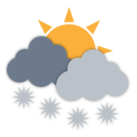
A mix of sun and cloud. High 18 except 21 near Pemberton. UV index 5 or moderate.
Tonight

Partly cloudy. Low plus 5.
Monday
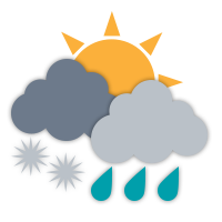
Cloudy. 30 percent chance of showers in the morning. Periods of rain beginning near noon. High 10 except 15 near Pemberton. UV index 2 or low.
Tuesday
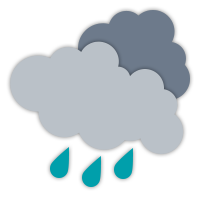
Periods of rain. High 14.
Wednesday

Sunny. High 18.
Thursday
A mix of sun and cloud. High 18.
Friday
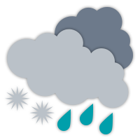
Cloudy with 60 percent chance of showers. High 16.
Saturday
A mix of sun and cloud. High 14.
Today
A mix of sun and cloud. High 18 except 21 near Pemberton. UV index 5 or moderate.
Tonight
Partly cloudy. Low plus 5.
Monday
Cloudy. 30 percent chance of showers in the morning. Periods of rain beginning near noon. High 10 except 15 near Pemberton. UV index 2 or low.
Tuesday
Periods of rain. High 14.
Wednesday
Sunny. High 18.
Thursday
A mix of sun and cloud. High 18.
Friday
Cloudy with 60 percent chance of showers. High 16.
Saturday
A mix of sun and cloud. High 14.
Alpine Forecast
Issued:
Sunday, April 27, 2025 at 3:00:00 PM PST
Synopsis
Increasing cloud is expected overnight as a frontal system starts to slide down the coast, with scattered wet flurries mixed in with showers and gusty ridgetop winds then developing by noon tomorrow as it moves through the region.
Some patchy instability then remains for Tuesday, with cloud and potential isolated wet flurries lingering before a ridge then returns for the latter half of the week bringing back more sunshine and mild temperatures.
Tonight
Increasing cloudiness.
Alpine Temperature: Low 0 °C
Wind southwest: 10-20 km/h.
Freezing Level: 1600 metres
Monday
Cloudy with scattered wet flurries mixed in with showers starting by noon.
Alpine Temperature: High 4 °C
Wind southwest: 10-20 km/h gusting to 40 km/h.
Freezing Level: 1800 metres
Accumulation: 3-5 cm.
Tuesday
Mainly cloudy with isolated wet flurries in the morning.
Alpine Temperature: Low -1 °C, High 4 °C
Wind southwest: 10-20 km/h.
Freezing Level: 2000 metres
Accumulation: 1-2 cm.
Wednesday

Sunny with cloudy periods.
Alpine Temperature: Low -1 °C, High 6 °C
Light ridge wind up to 15 km/h.
Freezing Level: 2800 metres
Thursday
Sunny.
Alpine Temperature: Low 0 °C, High 10 °C
Wind south: 15-25 km/h gusting to 30-40 km/h.
Freezing Level: 3100 metres
Friday
Cloudy with periods of rain mixed in with wet snow.
Alpine Temperature: Low 1 °C, High 5 °C
Wind southeast: 20-30 km/h gusting to 35-45 km/h.
Freezing Level: 2500 metres
Accumulation: 10-15 cm.
Saturday
Coudy with scattered wet flurries.
Alpine Temperature: Low -3 °C, High -1 °C
Wind southwest: 10-20 km/h.
Freezing Level: 1700 metres
Accumulation: 2-4 cm.
Sunday
Cloudy with sunny periods and isolated flurries.
Alpine Temperature: Low -2 °C, High 0 °C
Light ridge wind.
Freezing Level: 1800 metres
Accumulation: 1-3 cm.
This alpine forecast is provided by RWDI